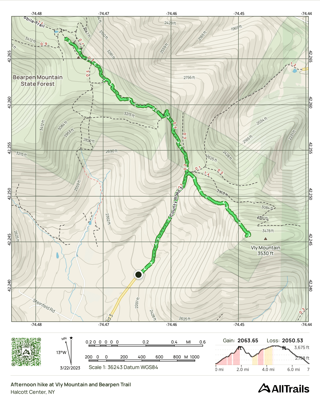
Bearpen & Vly, Spring or Winter?
- Peaks: Vly, Bearpen
- Type: Out and Back
- Time: 5.3 h
- Distance: 7.4 mi
- Elevation Gain: 2064 ft
- Hikers: Dan, Alex
Timeline:
- 8:45 AM leave home
- 10:30 AM at trailhead
- 10:45 AM hiking in spikes
- 11:15 AM at the hunters cabin
- 12:10 PM at Vly canister
- 1:05 PM back at the hunters cabin
- 2:20 PM at Bearpen summit
- 2:53 PM hiking back
- 3:40 PM back at the hunters cabin
- 4:00 PM back at car
- 4:45 PM at our hotel in Andes
Bearpen and Vly peaks are the farthest from my home but are close to Andes, NY, in Delaware County, where Alex and I often vacationed before the pandemic. I’d always had aims to hike these peaks on an otherwise-planned trip to the area to save on driving.
That opportunity came when Alex saw Brushland Eating House advertising a Nowruz Feast on March 21st, a celebration of Persian New Year on the Vernal Equinox. We booked a hotel in Andes and decided to make a trip of it.
When does winter end and spring begin? With the vernal equinox, of course. Colloquially, this is the date when the day and night are both 12 hours long. Mathematically, it’s the instant when the earth’s axis is perpendicular to the sun. It can be as early as March 19th or as late as the 21st. This year, the equinox came at 5:24 PM on Monday, March 20th. So in that sense, this was a spring hike.
The Catskills 3500 Club, however, defines “winter” as December 21st to March 21st, inclusive. So for peak bagging purposes, this was a winter hike. And it felt like a winter hike! There was snow all the way up, from just an inch or so at the base to 18–24” in places near the summit. There’d been a Catskills 3500 Club hike up these peaks the day before, so the trail to both peaks was broken and easy to follow. We brought snowshoes but, thanks to the club’s hard work, we were able to do the whole hike in just our spikes. The snowshoes in my pack were just weight training for me.
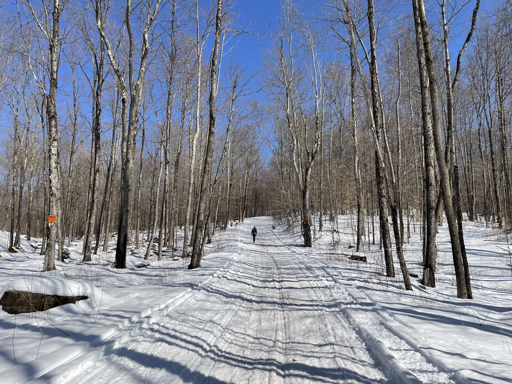
The hike starts where the pavement ends on Greene County Route 3. But what you’re hiking on is still Route 3, and it’s as wide a road as you’d expect. According to Michael Kudish’s The Catskill Forest: A History, there were even plans in the 1980s to pave this all the way up over the col to connect the Town of Halcott with the rest of Greene County. After last week’s bushwhack, this felt very easy.
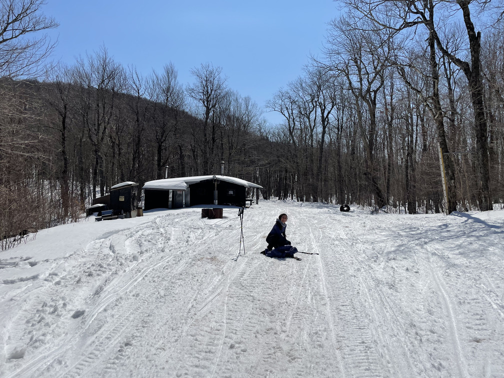
After just under a mile, we arrived at the hunter’s cabin in the col between Bearpen and Vly. We did Vly first. This is sometimes described as a bushwhack, but it was more of a footpath. There were even (numerous) blazes. With the track from yesterday’s 3500 Club hike, it was very easy to follow the path.
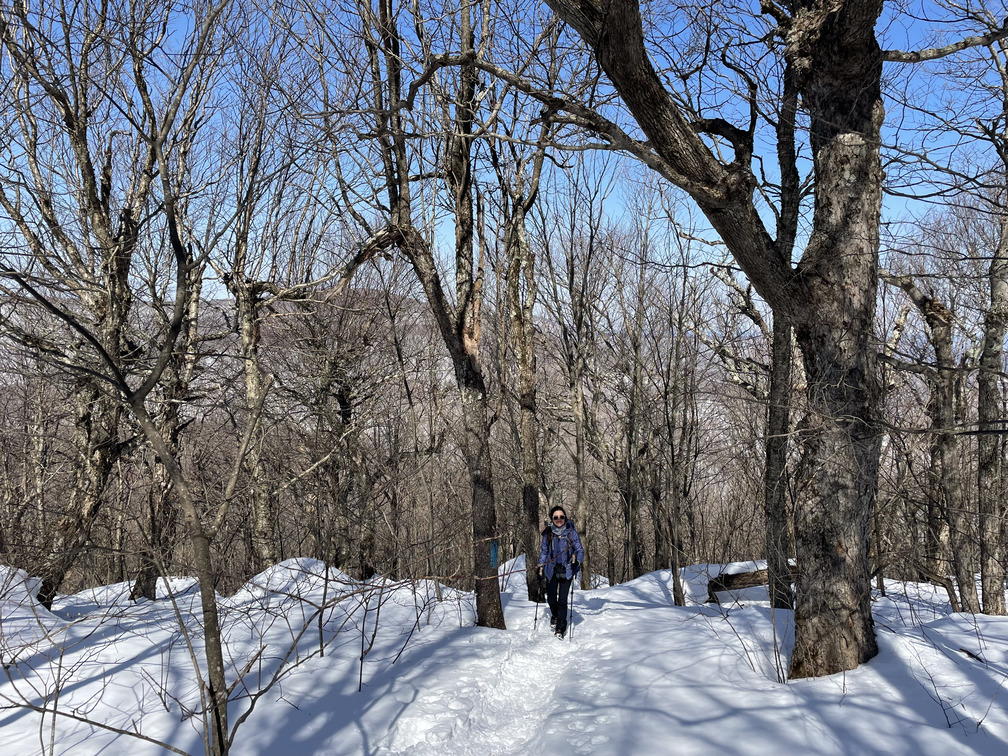
This got steep at times. As we gained elevation, the forest grew scrubbier. Michael Kudish estimated that there were 0.18 square miles of first growth forest around Vly in 2000 but feared that they would soon be logged. Fortunately that didn’t happen: the state acquired the land in 2001. There were some impressive old yellow birch trees around the summit.
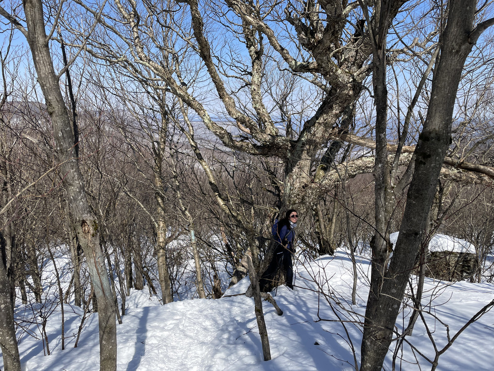
We saw a chickadee here and I briefly saw a small bird in gliding flight, maybe a small hawk? There were some partial views from here looking towards Slide and Belleayre to the south:
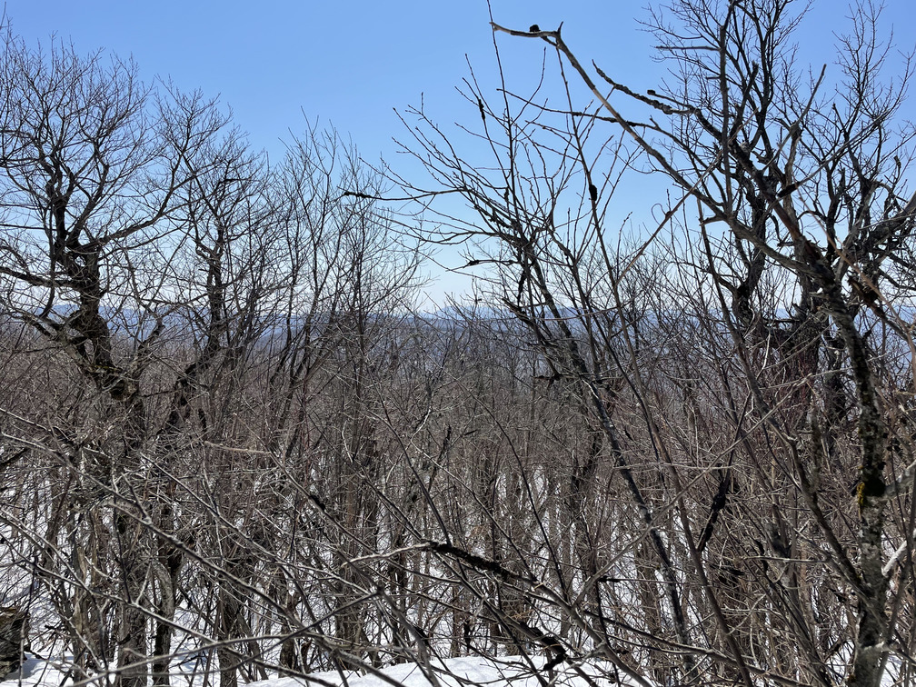
My map showed the summit icon considerably to the east of the canister, but I saw no evidence that this was actually the case. I walked a few paces east and the terrain quickly dropped.
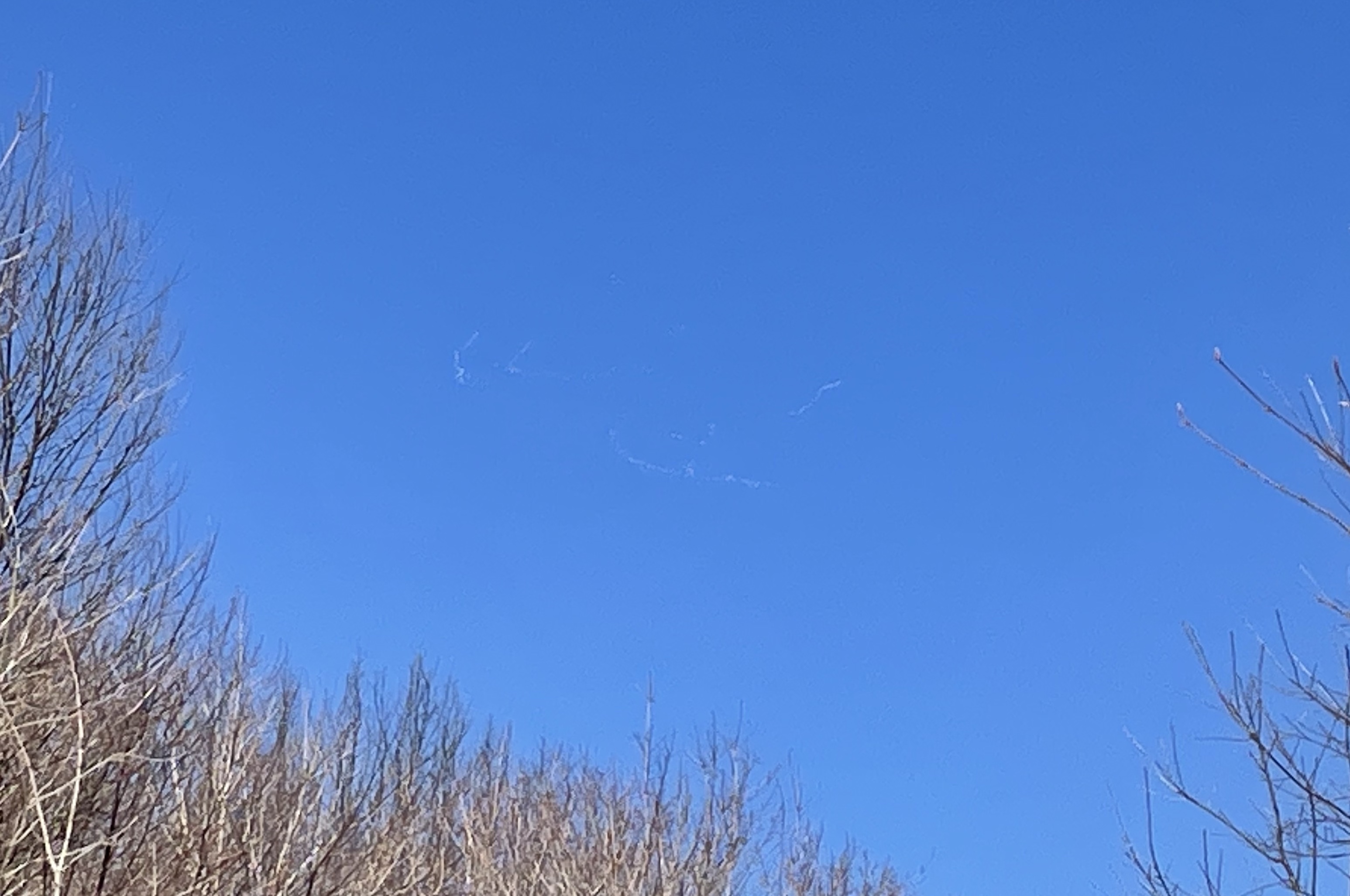
As we passed the hunter’s cabin on our way towards Bearpen, I spotted a huge formation of geese flying high overhead. These clearly weren’t Canada Geese. We saw white bodies with black wingtips through our binoculars. We’re fairly confident that these were Snow Geese on their way north. Alex left her camera in the car (guaranteed way to see cool birds!) so I only got a cell phone photo:
The hike up to Bearpen was also steep at points and followed a mix of snowmobile and hiking trails. As we neared the top, we entered a forest with short beech and yellow birch trees of nearly uniform height. Michael Kudish says that there was logging activity here as late as 1993 (New York state acquired Bearpen in 1999).
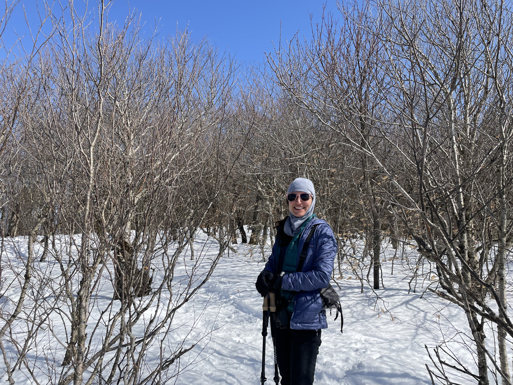
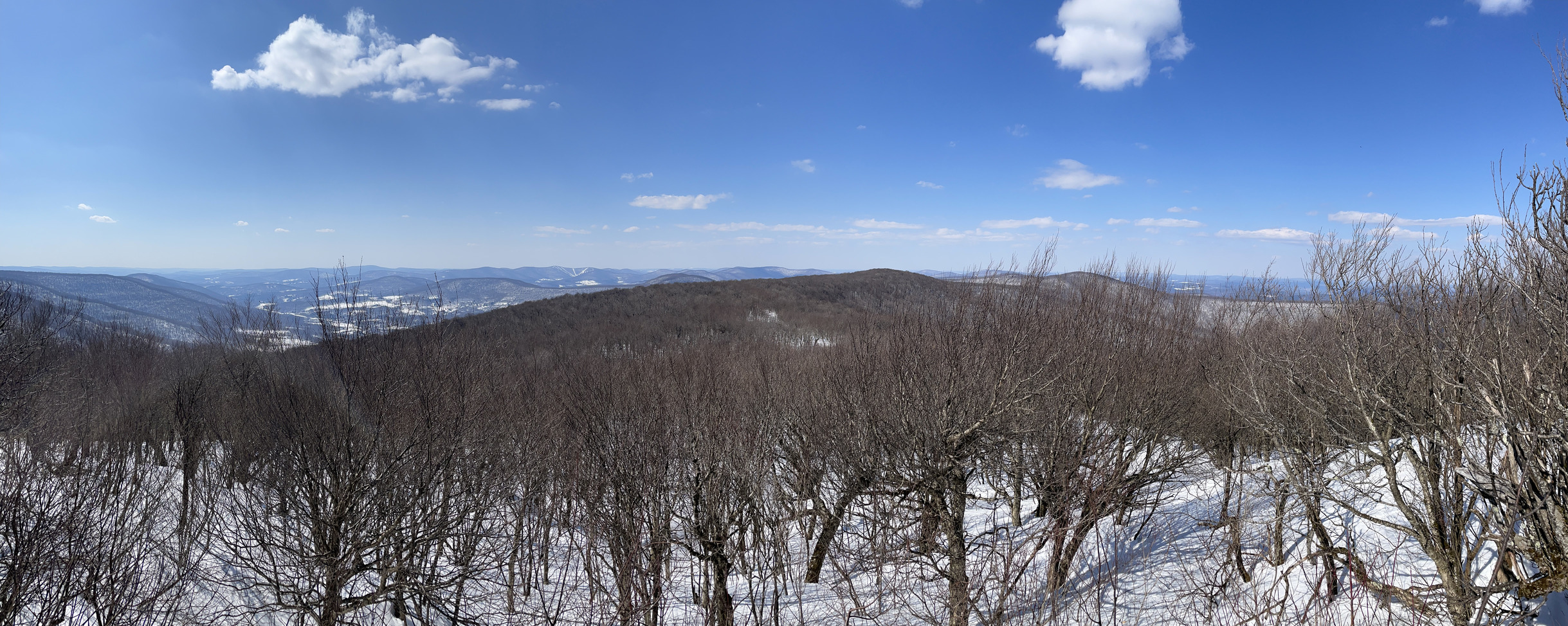
There are great views here looking north and west thanks to old clearings for the ski slopes.
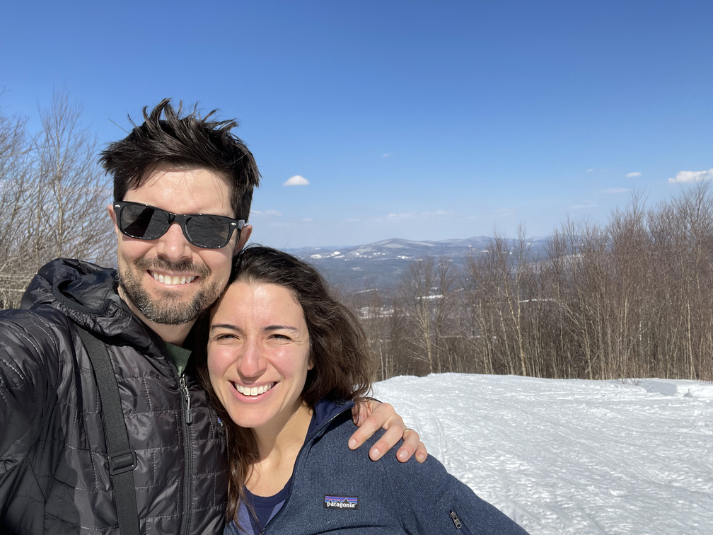
About those ski slopes! Bearpen was the old site of the Princeton Ski Bowl, which was developed around 1955 and abandoned only a few years later. This ski resort holds mythical status amongst skiers in the Catskills. Its northeast face reportedly gets more snow than any other part of the Catskills and is able to hold it, too. Skiers in the 1950s were able to use the runs as late as mid-May. Enough skiers came to Bearpen that they got a taste for it, but it closed quickly enough that they weren’t able to come back.
Wy did this ski run close? You can read the whole sad story, but the gist is that there was a land dispute between the developer of the ski slopes, Ben Lane, and another developer, Percy Goff. Goff was well connected and you can find many allegations of corruption and self-dealing around this particular case. Ben Lane was young (25?) at the time and starting an optometry business. The lawsuit and his growing business scuttled any attempts to revive the ski run. The court case wasn’t resolved until 1978. Goff eventually logged the land and sold it to the state. I haven’t been able to find any information online about him outside of the ski resort story.
After lunching and enjoying the views at the top of Bearpen, we were back to the car around 4pm and had a short drive to Andes. Plenty of time to get cleaned up and enjoy a spectacular Nowruz feast at Brushland.
Three Catskills hikes in a row without seeing another soul! My only plan for Catskills hiking this winter was to do the four required winter peaks. But I guess I must have liked it because I did 13! Now with winter officially over, I plan to take a few weeks off of hiking to let the snow melt. With any luck, my next hikes will really feel like spring.
