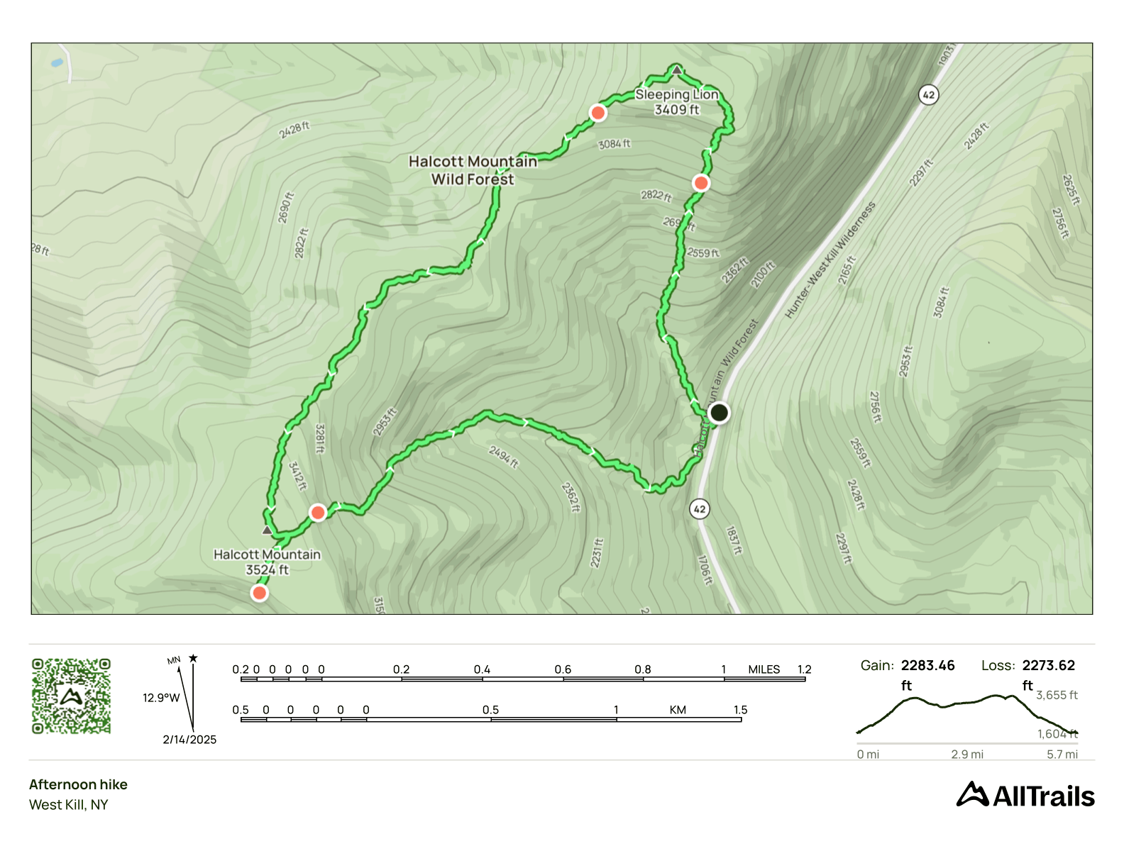
Sleeping Lion and Halcott Snowshoe
- Peaks: Sleeping Lion, Halcott
- Type: Loop
- Time: 5 h
- Distance: 6 mi
- Elevation Gain: 2283 ft
- Hikers: Dan
Timeline:
- 10:30 AM Start hiking
- 12:20 PM Summit Sleeping Lion
- 2:05 PM Summit Halcott
-
3:20 PM Back at the car
- Tracks: AllTrails
- Conditions: 20s, partial sun, 18-24 inches of snow higher up
Halcott was the easiest of my four remaining winter hikes, and this would be my third time climbing it. My previous two ascents had been direct up and down hikes. This time, I wanted to do something a little different, and I felt like I had some unfinished business from the previous hikes.
First, there was Sleeping Lion. This is a minor peak about a mile and a half to the north of Halcott. It’s a well-separated peak, but at 3,409 feet elevation, it’s just shy of the 3500 Club threshold. It’s the 45th tallest peak on the Catskills Hundred Highest list. I’d considered a visit my first time up Halcott, but an unexpectedly hard ascent meant I didn’t have time.
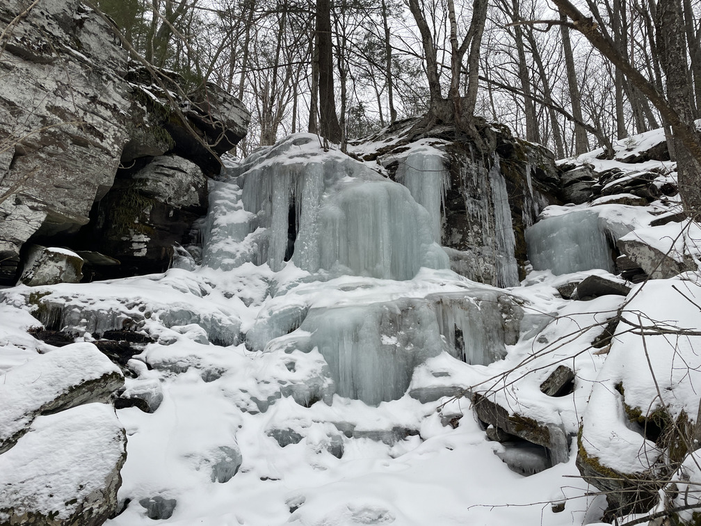
The other thing I wanted to do was check out this star on the Avenza map:
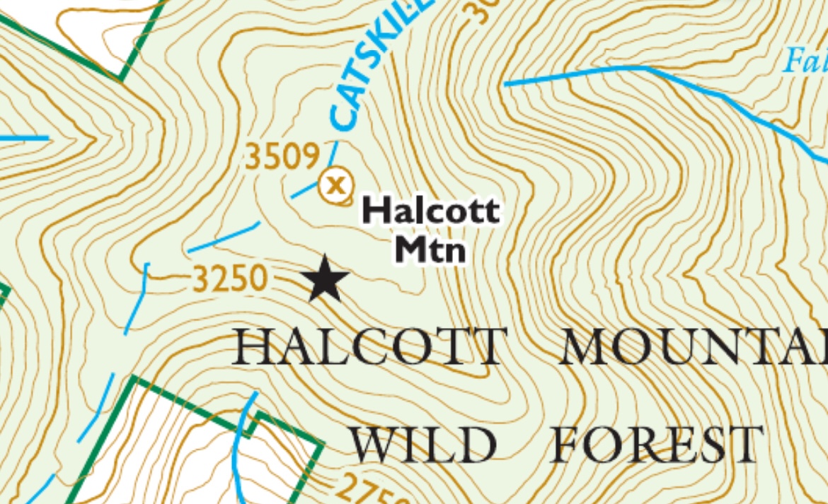
Stars aren’t that common on the Avenza map. There’s no view from the Halcott summit, so maybe this was something? I was curious to see.
So my three goals were Winter Halcott, Sleeping Lion, and possible viewpoint. In the end, this hike was tougher and longer than I expected, but I went three for three!
Most tracks I’d found online did Halcott first, then Sleeping Lion, a clockwise route. Looking at the topo map, though, I thought it would make more sense to go the other direction: up Sleeping Lion first, then across to Halcott. This way I’d be hiking steep, unfamiliar terrain going up, not down, which is usually the better approach. I found at least one track from 2011 that did this. Having done the hike now, I think I see why most people don’t do it this way, but more on that later.
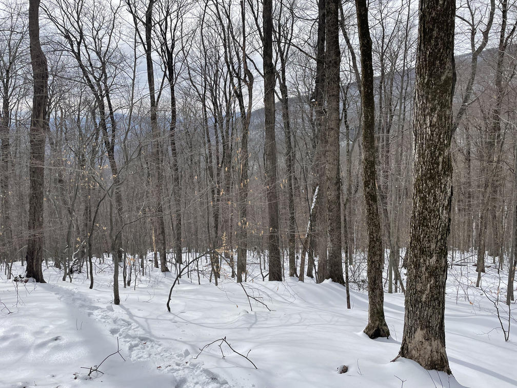
Compared to recent hikes, it felt almost warm in the Halcott parking lot: sunny and in the mid-20s. I was the second car there at 10:20 AM. I saw the well-packed trail to the waterfall and optimistically put my spikes on.
I quickly reached the bridge over the stream above the waterfall and realized that my two reference tracks went up on different sides. The recent hike crossed the river here and then again higher up. The 2011 hike stayed to one side of the river. That seemed more logical to me! This waffling meant that I got off to a slow start, but I’ve learned on previous bushwhacks that it’s worth taking the time to decide when and whether to cross a river. I put on my snowshoes here and never took them back off.
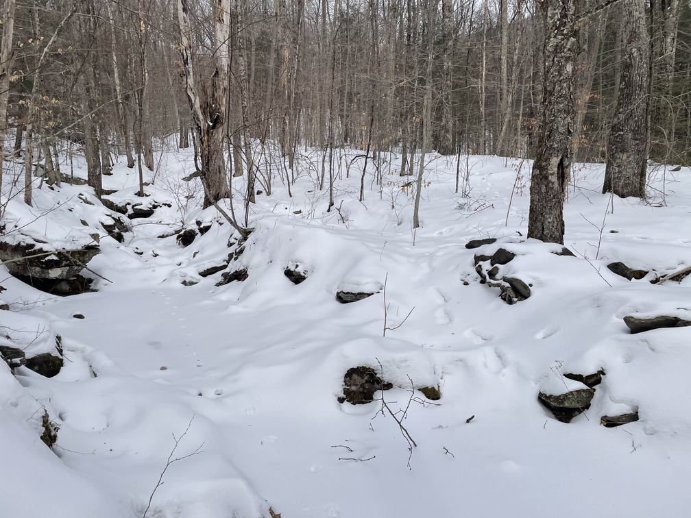
There were a few tracks towards Sleeping Lion at the start, but within a few minutes they stopped making sense, and I realized they were probably just snowshoe hare tracks. For most of the remainder of the hike I was on fresh snow.
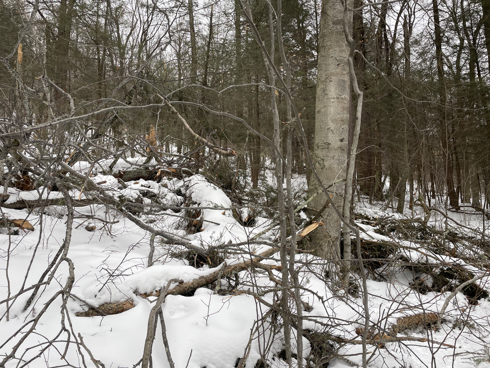
The ascent was quite steep. Between the sunny conditions and the hard work of breaking a trail, I was quickly down to a sweater and no gloves. I thought about going all the way down to a T-shirt, but this wouldn’t be a “snowshoes and a T-shirt” kind of day. Navigation was easy, at least: there were no false summits, so the Rule of Up applied. This was slow going, but after looking at maps all week, it felt nice to be making progress towards the goal.
I definitely didn’t make good time up Sleeping Lion but that was OK! I stopped frequently for water and to get my heart rate down. I saw a few Hairy Woodpeckers on the ascent.
Most tracks veered north as they approached the summit, so I did the same. I didn’t want to miss the summit or run into a sheer ledge. In the end, though, I don’t think it mattered. Any approach would have been fine.
At long last, I reached the summit. There were some other tracks at the top—where had those come from!?!? I thought I saw the summit cairn under snow, but a Facebook commenter said this wasn’t it. A small cairn would have been completely buried.
The other tracks gave me some hope that they might go over to Halcott, but this hope was short-lived. They clearly just went up and down. I’d be breaking trail over to Halcott, too.
It was nice to be hiking down for a change and, as is often the case, there was a nice sense of space hiking along this ridge to the saddle between Sleeping Lion and Halcott. I could clearly see my destination in the distance.
Now that I wasn’t going up, my jacket and glove liners went back on. Navigation wasn’t too bad here. A “rule of down” applied: go down gently, if you’re going down steeply then you’re off the route.
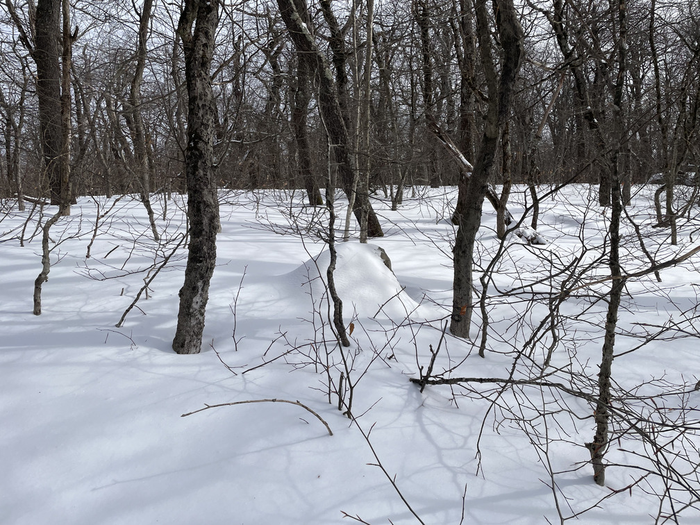
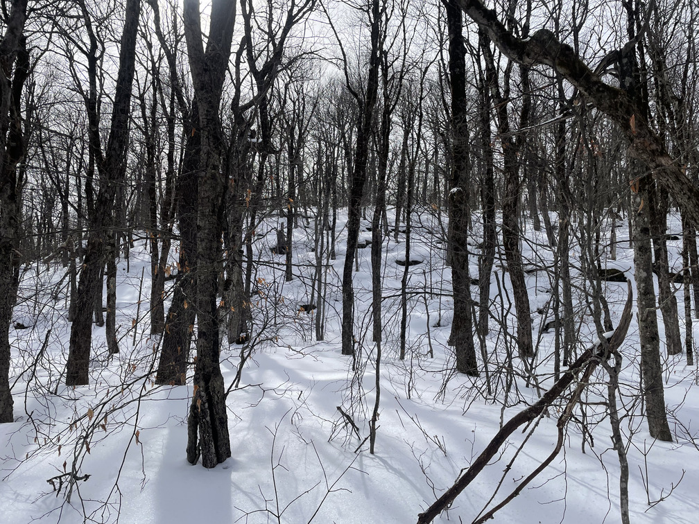
As the terrain leveled out and then starting gently going up again, my legs started to get tired. Hiking solo in deep snow is a real quad/hamstring workout! The terrain was reasonably open here, but the deep snow could easily conceal rocks, which were a tripping hazard.
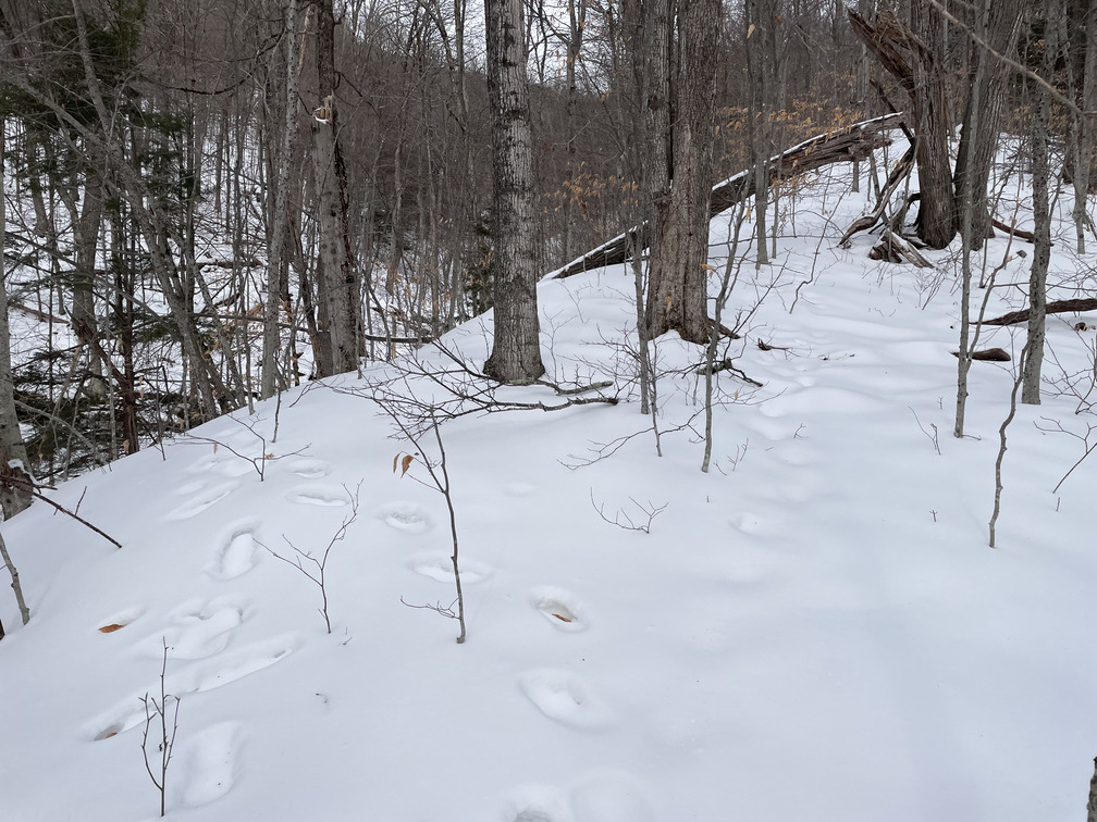
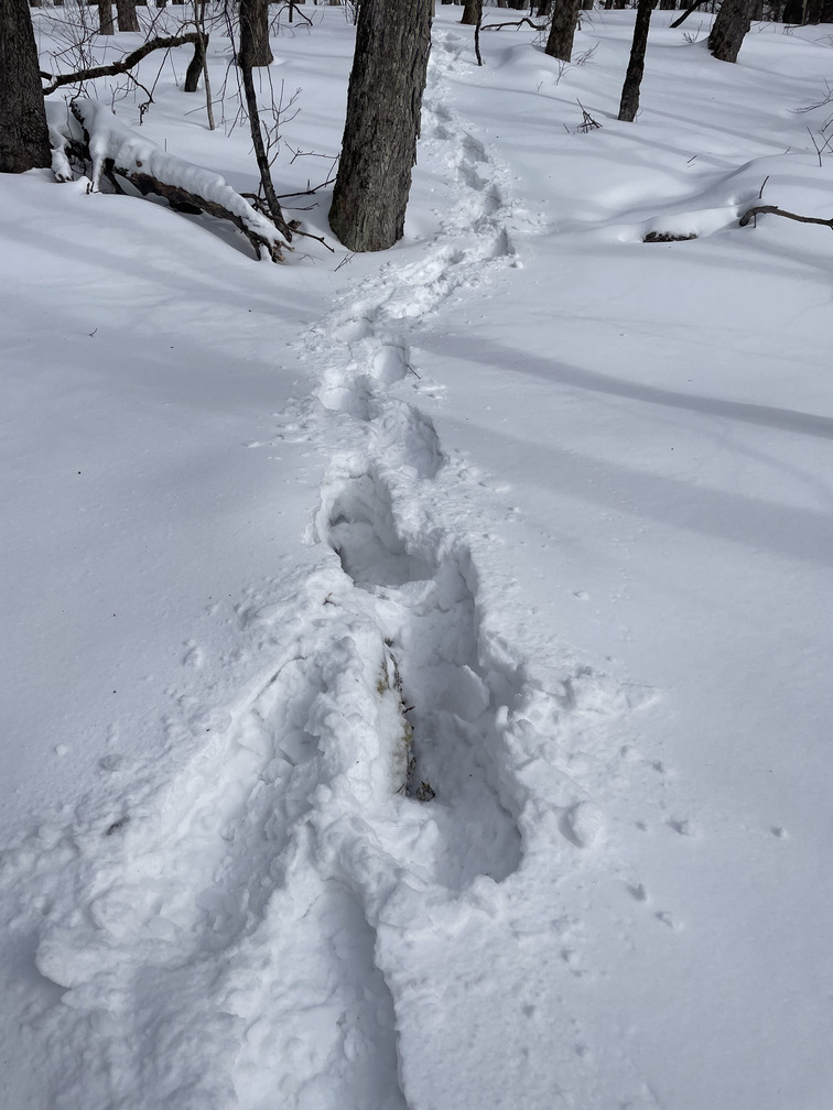
At some point I worked back towards the left and found a faint set of snowshoe prints with some animal tracks on top of them. This made an incredible difference. After all that hiking through deep snow, the light compaction from these old prints made it feel like I had a spring in my step, like I was suddenly walking on solid ground again. Even if I didn’t love the path, I only had to take one step out of it to be reminded how helpful it was.
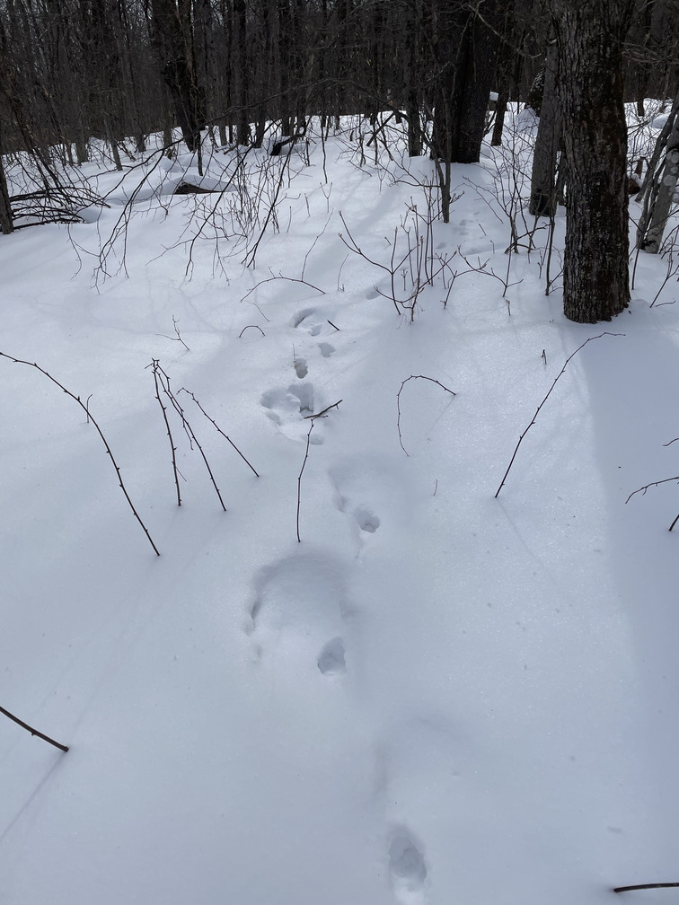
The snowshoe tracks were faint, but the animal prints made it very easy to follow, and they tracked it perfectly for almost a mile before going in a different direction before the final ascent to Halcott. At first I wondered if it might have been a dog post-holing with its owner, but they were much fresher than the snowshoe tracks. Maybe it was a deer.
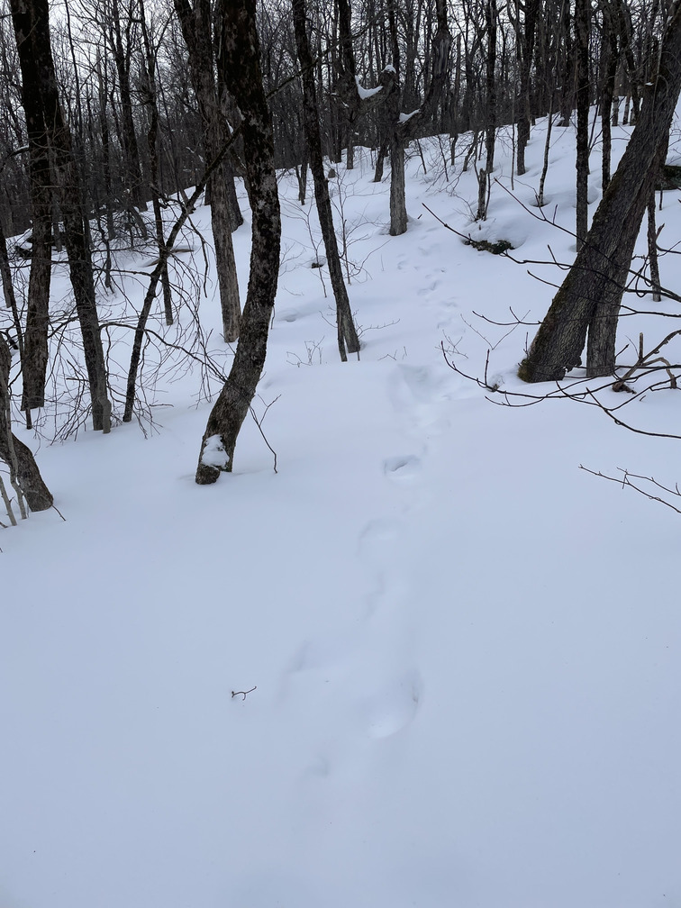
I kept diligently following the snowshoe prints as they went up steeper terrain. After one particularly tough section, I looked ahead and couldn’t quite decide if I was seeing gray clouds or more snow past the next ridge. But then there was the canister! I’d made it!
I was the first person to sign in today. I don’t know where the other hiker from the parking lot went. For the first and only time today, I felt a little cold here.
Now a decision: to check out the possible viewpoint? It was 2pm. I’d initially hoped to be back at the car by now, so I was well behind schedule. On the other hand, I had plenty of daylight and the descent would be easy. I was there, may as well take a look!
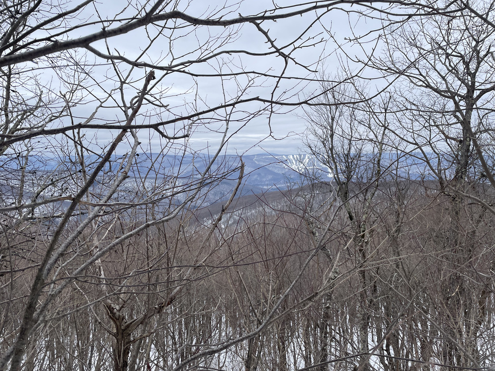
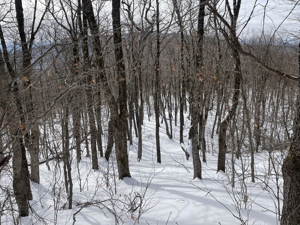
I started down the herd path for an easy descent, and so that I could follow my own tracks back to it. It wound up being a 15-20 minute detour, and it was another reminder of how much harder it is to hike in fresh snow. There was a partial view of Belleayre. If there was a full view somewhere, I missed it.
The descent was very fast thanks to the extremely well-defined trench. Just below the summit, I ran into another hiker, the only person I’d see all day. She was working on her grid and winter solo hikes. That’s not a list I’ve tracked!
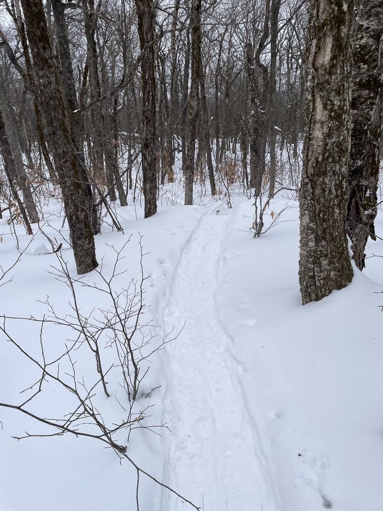
There were a few inconsequential forks in the trench that eventually joined back together. The views were nice coming down from Halcott, at least as good as from the star on the Avenza map.
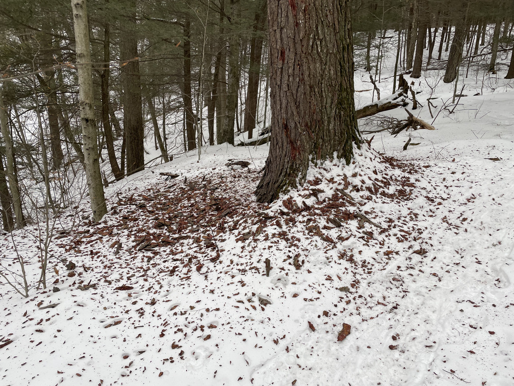
On my first hike up Halcott, I was struck by the old grove of huge Hemlock trees. I was sad to see one of these had fallen and another was dying.
Soon I was back to the car. I’d hoped to grab a victory milkshake at Phoenicia Diner, but it was closed on Wednesdays, so I settled for Stewart’s Shops instead.
So why do people hike Halcott first, then Sleeping Lion? I have a few ideas. Halcott is usually the primary goal, so if you get there first and you’re behind schedule, you can sacrifice the secondary goal, much as I did on my first hike. Second, the terrain around Sleeping Lion is steep, but it doesn’t have any treacherous cliffs. Going down here would have been fine, especially in the deep snow. In the winter, you’re more likely to have tracks going up to Halcott, so that you can avoid the tough combo of hiking up while breaking tracks.
All in all this was a harder hike than I expected, but it was great conditions and I was glad to get out. 28/33 winter peaks completed!